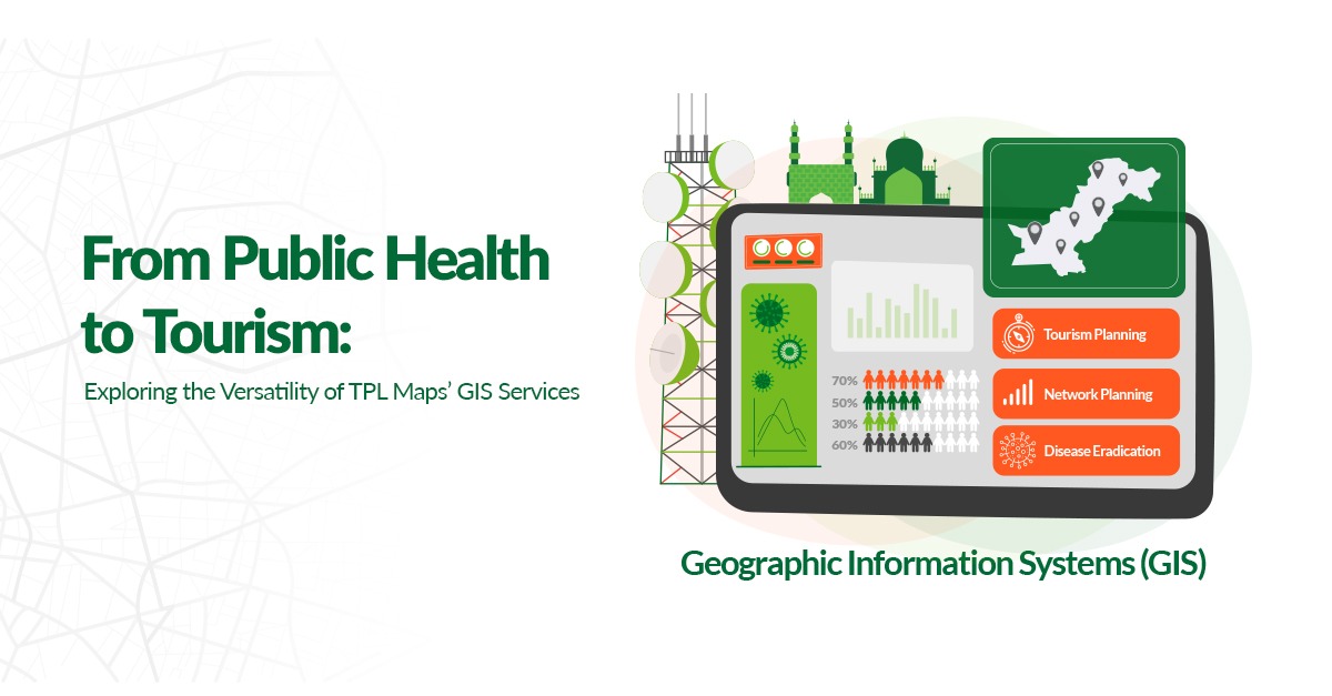
The integration of Geographic Information Systems (GIS) into various industries has significantly improved how businesses analyze and interpret location data to make informed decisions. With Pakistan’s leading geospatial surveying team, TPL Maps has been at the forefront of utilizing GIS to address complex problems and enhance decision-making processes across the healthcare, utilities, and tourism and recreation sectors. This blog post explores the impact of TPL Maps’ GIS services, demonstrating its pivotal role in transforming operations and strategic planning through precise and actionable spatial data insights.
Advancing Public Health through Geographic Insights
In healthcare, GIS has proven to be a game-changer, especially in epidemiology, disease tracking, and improving healthcare accessibility. TPL Maps has played a pivotal role in public health initiatives, notably in a project aimed at eradicating polio in Pakistan. By employing GIS for detailed mapping and planning, TPL Maps optimized the deployment of field teams for polio screening and vaccinations, covering over 52 tehsils and supporting 2000+ workers. Furthermore, during the COVID-19 pandemic, TPL Maps developed a GIS Decision Support System for the NCOC, enhancing decision-making around social distancing, testing, and emergency responses, facilitating the monitoring of over 500k cases and reducing the spread of the virus.
Mapping New Experiences to Enhance Tourism and Recreation
In the domain of tourism and recreation, GIS applications like destination mapping and recreational area management have opened new avenues for exploration and conservation. TPL Maps’ collaboration with the Department of Archaeology and Museums (DOAM) to digitize and promote Pakistan’s archaeological sites is a testament to this. Through a proprietary mobile app and website, along with extensive surveys of over 6000+ sites, TPL Maps provided easier access to the country’s rich heritage, allowing both local and international tourism to flourish.
Optimizing Infrastructure with Spatial Data
GIS has also transformed the utilities and energy sector, through applications such as Telecom network planning and infrastructure siting. This is exemplified by TPL Maps’ innovative web-based GIS platform for the Pakistan Telecommunication Authority (PTA) for network planning. The platform facilitated a 40% faster rollout of 4G/5G services by overlaying population data with cellular coverage, improving service delivery, and ensuring maximized returns on network investment. This initiative enhanced connectivity across Pakistan, displaying the power of GIS in optimizing utility infrastructure.
Enhancing Industry Operations with Comprehensive Geospatial Solutions
TPL Maps’ application of GIS services across various sectors illustrates the significant potential of spatial data in enhancing industry operations and strategic decision-making, as well as the versatility of GIS technology. By solving wide-ranging problems that affect millions of people, TPL Maps has demonstrated the multi-dimensional nature of geospatial surveying. As a specialized service, the possibilities for GIS in transforming industries are endless, and TPL Maps continues to be at the forefront of leveraging this transformative technology to drive growth and improve services across Pakistan.

